Let's DIGITise Paper Maps, Values & Youth Workers Skills Together

We began our digitalisation journey a year ago, and we've already explored, learned, and built so much. If you're at the start of your own digital adventure, have no fear, fellow map maker! A journey of a thousand miles begins with a single step, and we're here to share the lessons we've learned this past year to make your journey even easier!
Virtual Explorations
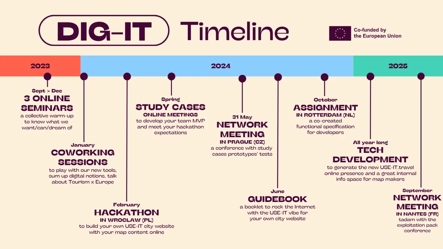
The first stop on our web development journey—how fitting—was three online community learning sessions attended by members of the USE-IT network from across Europe. We recorded all three sessions for you to enjoy from the comfort of your own home or on the go.
- USE-IT History on the Internet and App Stores: We familiarised ourselves with existing and past digital adventures within the USE-IT network and shared our hopes and dreams for our new online platform (notes).
- Analysing Existing (and Exciting) Mapping Tools: We explored the geospatial technologies and concepts that could help us bring our paper maps to life online (notes).
- Online Coding Session: We got hands-on with coding, learning not only about code but also about no-code and low-code solutions (notes).


Start Building!
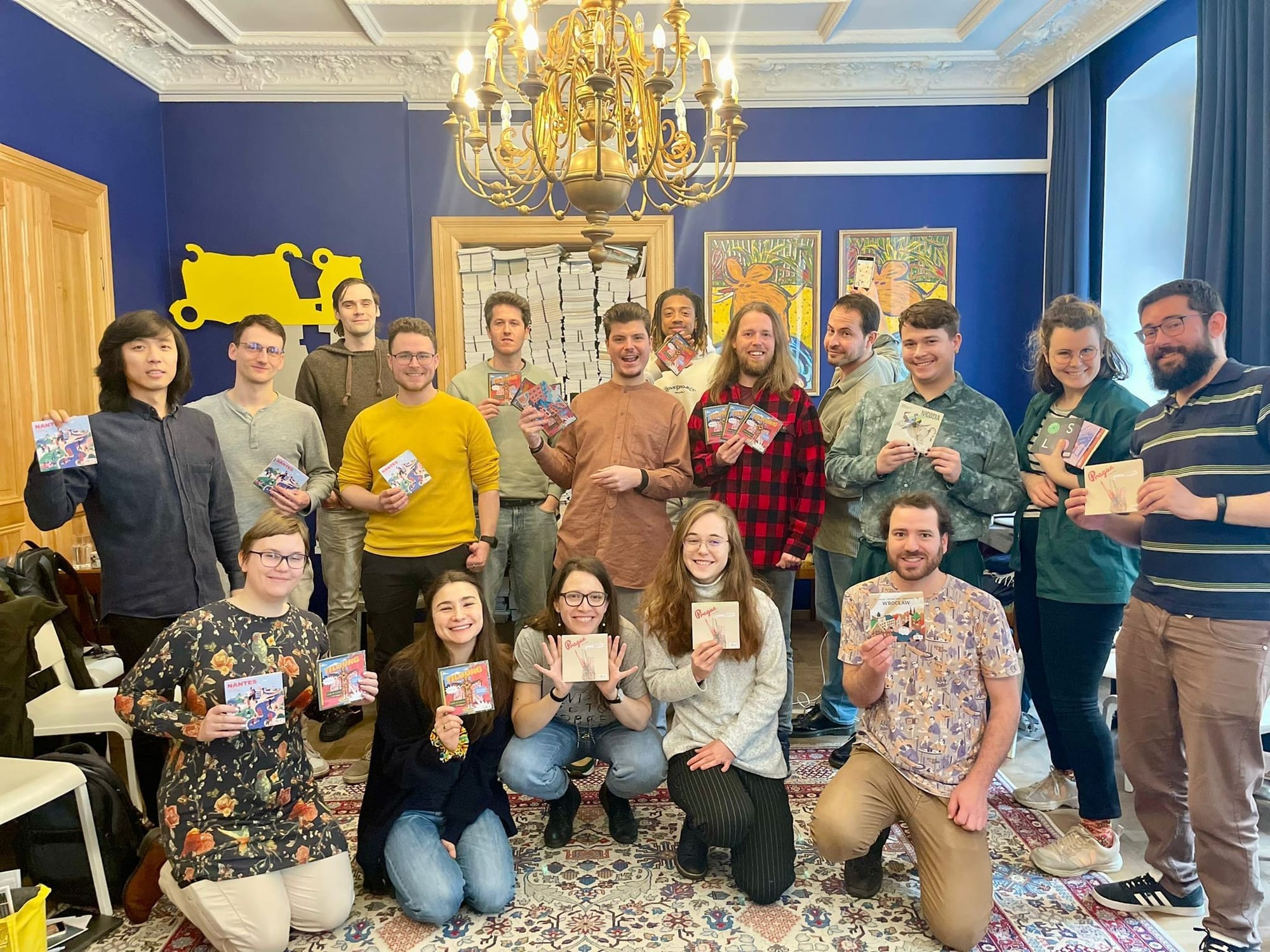
Now it’s time for a good old-fashioned face-to-face meeting, and not just any meeting—a three-day Hackathon in Wrocław, Poland! Together, we learned how to prototype our new online websites, design personas and graphic interfaces, implement both custom code and no-code solutions, build databases, and, of course, embed map components! The result? Four state-of-the-art minimum viable products (MVPs) that showcase the skills we’ve gained and the collaboration within each team.
Share it with the Community
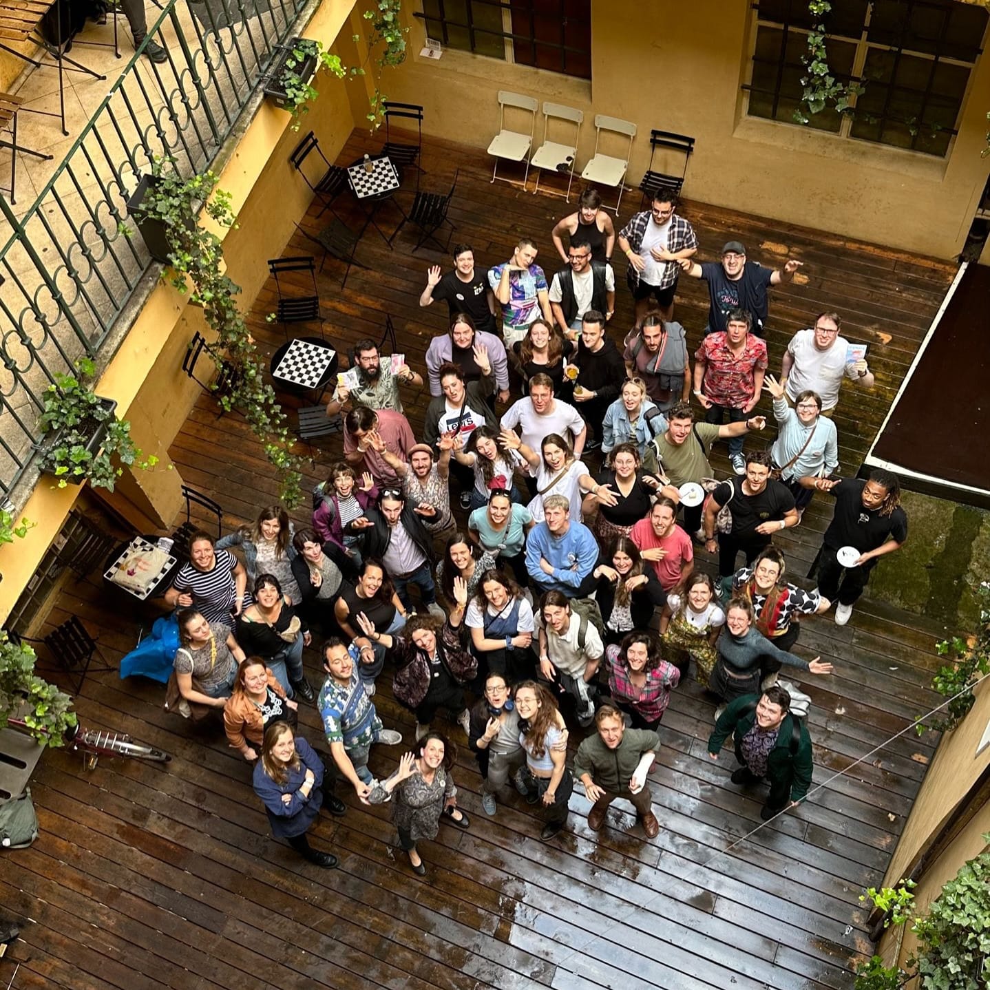
After three months of further development and improvements, it was time to present our final MVPs to the wider USE-IT community at our annual assembly in Prague in June. Alongside celebrating our achievements with the network, we had the chance to test our digital solutions and gather feedback from users. We also delved into workshops and discussions on opportunities and challenges in geospatial web development, the pros and cons of custom code versus no-code solutions, cartography, design and much more. We documented these discussions and are excited to share our insights with you here on this platform.

Show and Tell
We can’t keep this knowledge to ourselves, so we’ve created the DIG-IT Guidebook! This step-by-step tutorial will guide you through creating your own website with an embedded map. It covers everything from the required resources and various tools, to designing, building a database, crafting a user interface, and integrating interactive map elements. Plus, we show how we incorporated these components into a minimum viable product in each of our case studies. Go ahead—download your free copy now!

DIG-IT: The Guidebook
A step-by-step tutorial on how to create your own website with an embedded map
MAKE IT HAPPEN (That’s what they said.)
Test, try and repeat. Before entering the final phase of developing the new use-it.travel digital presence, we’ve gathered everything we’ve created and tested with input from both our community and expert feedback.
We’ve analyzed what constitutes a core feature versus an extra, evaluated their pros and cons for each prototype, identified our stakeholders, and refined our user personas. Take a look at our comprehensive analysis.
In October 2024, we gathered again—this time in Rotterdam, Netherlands—to officially kick off the development phase of our new USE-IT platform. Our vision is to create an informational hub tailored for our dedicated map makers, equipping them with everything they need to design paper maps alongside city websites featuring online maps. This new platform aims to boost engagement within our network and strengthen connections with our user community.
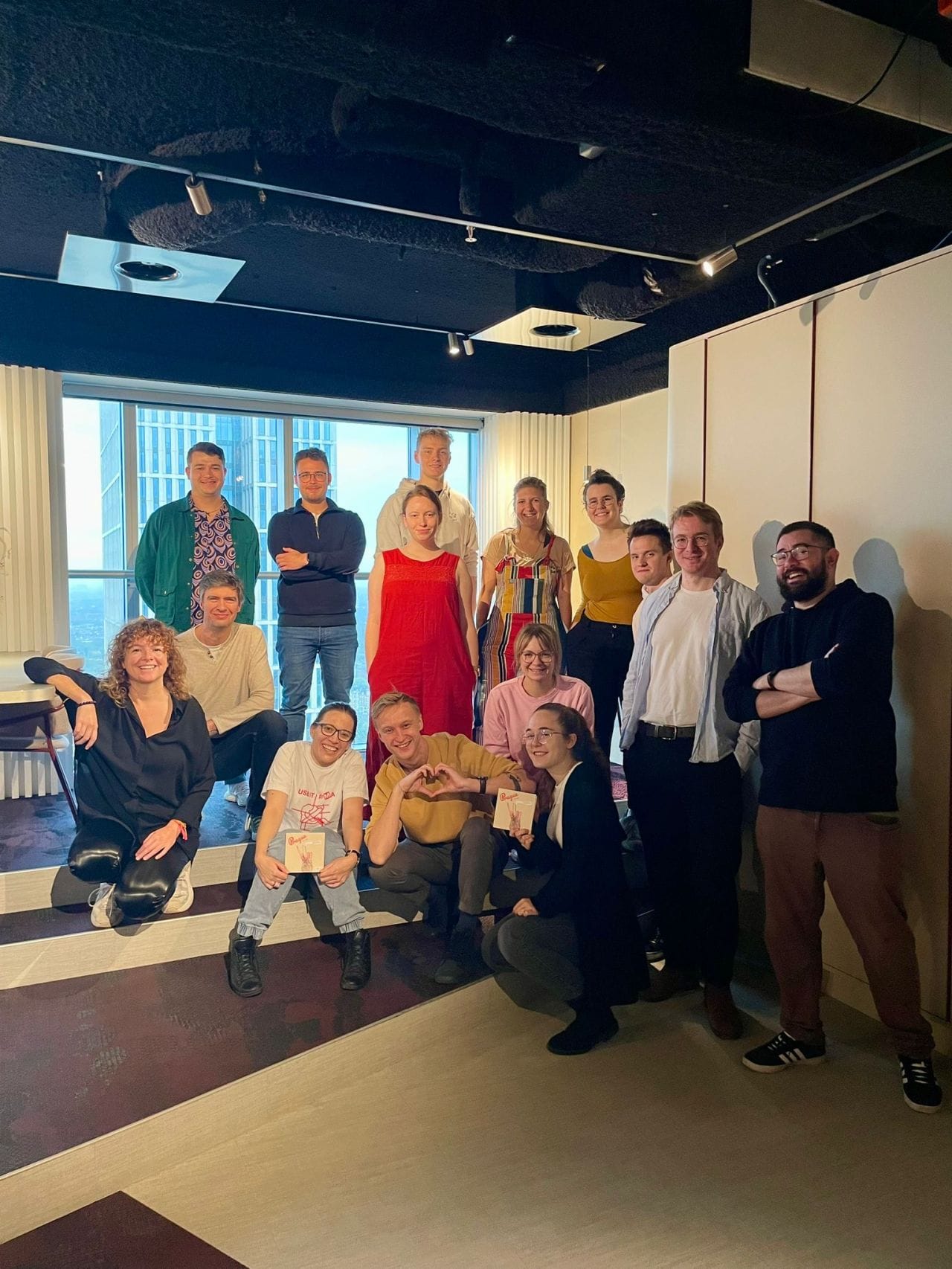
After four intense days of decision-making—aligning on the developers’ assignments, clarifying what we want, how we want it, and what’s technically feasible—we’re ready to move forward!
MA(P)GIC IN PROGRESS
This development phase will span a year, including a beta version, testing iterations, an alpha release, and the grand unveiling of the official version at our network meeting in Nantes, France, in September 2025. Stay tuned for the launch of the new use-it.travel digital presence! We can’t wait to see you explore and benefit from our enhanced recommendations folks.
